
Sarıyer, Istanbul: Transport and Commute Guide (2026)
Short Answer: Sarıyer has 6 mapped metro stations, 805 bus stops and 3 train stations, with no tram stops mapped inside its administrative boundary. These OpenStreetMap counts are dated 20 November 2026. İstanbul Havalimanı is 26.3 km from the district centre in a straight line, not by road; no typical commute times are supplied.

What Is Transport Like in Sarıyer?
Sarıyer is a large district where the usefulness of a transport option depends on your neighbourhood and destination. The mapped counts show a substantial bus-stop network alongside metro and train stations, but they do not indicate frequency, routes, operating hours or walking distance from a particular home.
OpenStreetMap records mapped features inside Sarıyer’s administrative boundary, so counts should be read as a map-based snapshot rather than a complete transport inventory. The data is dated 20 November 2026. Start by checking the route from the exact address you are considering, rather than relying on a district-wide label.
For property searches, compare addresses against your own daily destinations and the transport modes you expect to use. You can browse property for sale in Sarıyer and widen the search to homes across Istanbul.
- What the counts tell you: Which types of mapped transit infrastructure appear inside the district boundary.
- What they do not tell you: Door-to-door journey duration, service frequency or whether a route is convenient at your travel time.
For context on housing and districts elsewhere, see our Istanbul district report. Transport suitability remains a home-by-home question, even within one district.
| Mapped transport feature | Count | Snapshot date |
|---|---|---|
| Metro stations | 6 | 20 November 2026 |
| Bus stops | 805 | 20 November 2026 |
| Train stations | 3 | 20 November 2026 |
| Tram stops | 0 | 20 November 2026 |
How Much Metro and Train Access Does Sarıyer Have?
OpenStreetMap records 6 metro stations and 3 train stations within Sarıyer’s administrative boundary as of 20 November 2026. These figures establish that both kinds of rail infrastructure are mapped in the district, but they do not specify station names, lines, transfer points or service patterns.
Before choosing a home, check the walk or local-bus connection between the property and the station you plan to use. The count alone cannot show whether a station is close to a particular street, nor how many changes are required to reach your workplace or another regular destination.
Verify current routes and operating details independently before making a decision, especially if you need a reliable arrival time.
Those comparing locations can review property for sale in Turkey or look at lower-priced Sarıyer listings while mapping likely trips from individual addresses.
- Useful check: Test the full journey from the building entrance to your destination, including the connection at each end.
- Do not infer: A station count does not establish how frequent, fast or direct a service is.
Are There Tram Stops in Sarıyer?
No tram stops are mapped inside Sarıyer’s administrative boundary in the OpenStreetMap snapshot dated 20 November 2026. This is a count of mapped stops within that boundary, not a statement about access to tram services elsewhere in Istanbul or possible connections beyond the district.
If a tram is important to your daily travel, identify the specific stop and route you would use, then assess how you would reach it from the property.
When viewing a home, use the actual address to check practical access rather than assuming that a district-wide map count applies equally to every neighbourhood. You can compare general listings while treating transport checks separately.
For a wider comparison, PointTurkey also lists property for sale in Antalya and homes in Bodrum. These searches are property options, not a source of comparable commute data.
How Useful Are Sarıyer’s Bus and Ferry Options?
The mapped count is 805 bus stops inside Sarıyer’s administrative boundary, according to OpenStreetMap on 20 November 2026. This indicates a broad distribution of mapped stop points, but it does not reveal which routes serve them, how often buses run or whether services connect directly to your destination.
It is not possible to establish which parts of Sarıyer have convenient ferry access or how long a ferry-based commute might take. Check current operator information and the precise route before treating a ferry as a regular travel option.
For any bus or ferry journey, compare the entire trip: the walk to the stop or pier, waiting, transfers and the final leg. A high number of mapped bus stops across the district does not guarantee an easy connection from every home.
When you shortlist a property, explore the neighbourhood and verify its real connections at the time you would travel. If you are considering a sale or purchase elsewhere, see PointTurkey’s free property valuation tool and browse apartments for sale in Turkey.
- Bus count: 805 mapped stops within the district boundary as of 20 November 2026.
How Far Is Sarıyer from İstanbul Havalimanı?
İstanbul Havalimanı is 26.3 km from Sarıyer’s mapped centre point in a straight line, based on OpenStreetMap data dated 20 November 2026. This is not a driving distance and does not provide an airport transfer duration or estimate how long a journey will take in traffic.
For an airport trip, check the route from the specific address, the mode of travel and current traffic or service conditions. The district-centre measurement is useful for orientation only; homes elsewhere in Sarıyer may have different access and travel requirements.
The data also places the mapped centre of İstanbul 24.1 km from Sarıyer’s centre point in a straight line, as of 20 November 2026. That is not a road distance and does not define how long it takes to reach a workplace or city destination.
Do not use straight-line measurements to set a daily commute expectation. If airport access is a priority, test a door-to-terminal route for the exact property and time you expect to travel, and confirm the details with current transport providers.
You can also compare Sarıyer with homes for sale in Izmir or property in Bursa.
What Are Typical Commute Times from Sarıyer?
No typical commute times are supplied for Sarıyer. There are no measured journey durations to central Istanbul, workplaces, the airport or other destinations, so any precise estimate would depend on information not established by these figures.
Instead, test the exact trip you expect to make. Check the weekday and time, door-to-door route, transfers, walking sections and return journey. Conditions can differ by route and departure time, so a single district-level travel estimate would not be a dependable guide.
Highways and road access are also not quantified. It gives no road distances, traffic observations, toll information or travel times. If you plan to drive, review the route and conditions for your regular journey rather than assuming the airport’s straight-line distance represents road access.
Use a viewing to assess the local route as well as the property itself. Compare the location with your main destination, and check whether you have a workable alternative if your preferred route is disrupted.
For another market perspective, read our Aydin district guide or our Antalya district guide. They do not substitute for testing the journey from a specific Sarıyer address.
What Are the Risks?
The main risk is treating map counts or straight-line distances as guarantees of convenient travel. A mapped stop may not be the one you need, and counts do not indicate frequency, crowding, accessibility or the time required for transfers and the last part of a trip.
Airport and city-centre distances are measured from a district centre point, not an individual home, and are explicitly straight-line measurements. They should not be read as driving distances or journey durations. There is no commute-time evidence here to support a typical travel claim.
Transport information can change, and mapped features are a snapshot dated 20 November 2026. Before committing to a home, confirm current services and road conditions through the relevant operators or route tools, then test the trip from the property at the time you would normally travel.
Property decisions also involve other considerations beyond transport. For broader market reading, see our report on October 2026 home sales and the Alanya versus Konyaaltı buyer guide; neither establishes commute conditions in Sarıyer.
Explore Sarıyer and Plan Your Search
PointTurkey is a free property marketplace for Turkey, where owners and agents list homes for sale and for rent. Use Ask Amara, PointTurkey's AI property assistant, to search listings or ask a question about finding a home in Sarıyer.
When comparing options, check the exact address against the places you travel to and the transport modes you intend to use. Browse villas for sale in Turkey or houses for sale in Turkey and verify each listing’s practical connections independently.
You can also explore Fethiye listings, Alanya property and homes in Kuşadası. For other property types, see commercial property, land for sale and hotels for sale. Owners can post a free property listing.
FAQs: Sarıyer Transport and Commuting
Q: How many metro stations are mapped in Sarıyer?
A: OpenStreetMap records 6 metro stations inside Sarıyer’s administrative boundary, dated 20 November 2026. This is a mapped count, not a measure of service frequency or access from a particular home.
Q: Does Sarıyer have tram stops?
A: No tram stops are mapped within the district boundary in the OpenStreetMap data dated 20 November 2026.
Q: How many bus stops are there in Sarıyer?
A: OpenStreetMap records 805 mapped bus stops within Sarıyer’s administrative boundary as of 20 November 2026. The count does not provide route or timetable details.
Q: How far is İstanbul Havalimanı from Sarıyer?
A: The airport is 26.3 km from Sarıyer’s mapped centre point in a straight line, based on OpenStreetMap data dated 20 November 2026. It is not a driving distance or a journey-time estimate.
Q: What is the commute time from Sarıyer to central Istanbul?
A: No commute duration is provided. The mapped centre points are 24.1 km apart in a straight line, but that measurement does not show road distance or travel time.
Q: Are ferry routes and highways covered?
A: No ferry route or timetable details or highway travel-time or traffic measurements are stated. Check current routes and road conditions for the exact address and journey.
NOTE: This article is for information only and is not legal, tax, or investment advice. Figures are as of November 2026.
Homes for sale on PointTurkey
The newest homes listed by owners and agents.


Two bedroom pool apartment for rent in Muratpasa Antalya
- 2+1
- 2
- 95 m²
- Partly furnished





Large one bedroom apartment of 120m2 in Konyaalti Antalya
- 1.5+1
- 100 m²

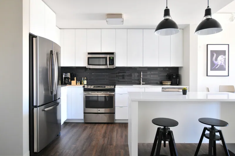

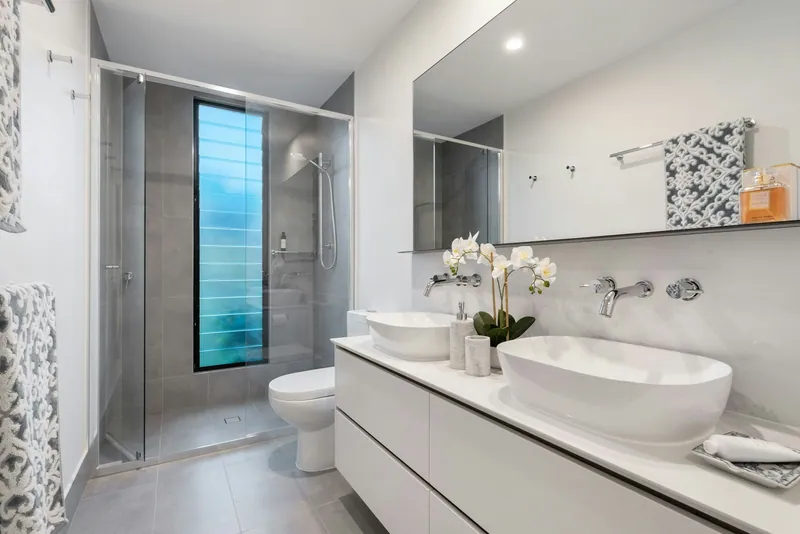
Two bedroom apartment with pool in Muratpasa Antalya - staff edit
- 2+1
- 2
- 95 m²
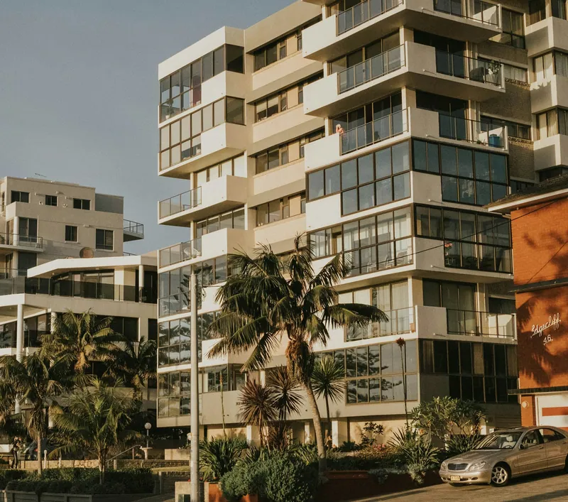
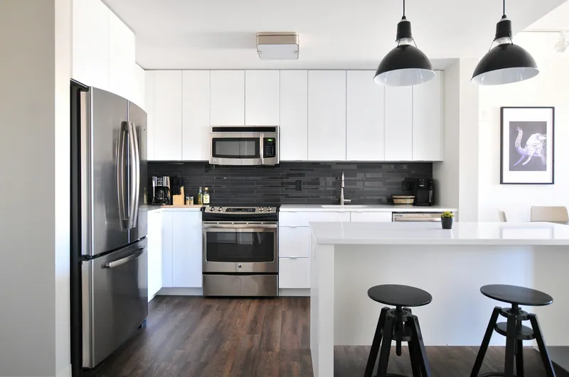


Two bedroom apartment with pool in Muratpasa Antalya
- 2+1
- 2
- 95 m²
Related articles
All articles
Eyüpsultan Safety and Earthquake Risk: Buyer Guide
No district-level crime rate or public AFAD earthquake-hazard value is available for Eyüpsultan, so neither should be used to label the district safe or unsafe. Buyers should assess the…

Bodrum Safety and Earthquake Risk: Buyer Guide 2026
Bodrum has no published district-level crime rate in the available official data, and no public AFAD PGA figure is provided here, so neither can support a precise risk score. Buyers should…
Alanya vs Konyaaltı: Prices and Buyer Guide (2026)
Alanya offers a lower median asking price than Konyaaltı: as of 17 November 2026, the figures were ₺6.7 million ($132,900) and ₺9.95 million ($197,500), respectively. Alanya also has more…